These are some of the important geographical features in Southeast Asia.
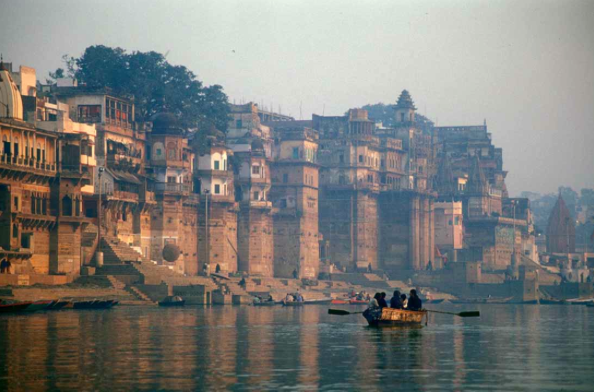
Ganges River
Ganges River starts in Himalayas then flows southwest to Indian Ocean. It is the most important river in India's subcontinent because t runs through India's most populated and fertile land. The name of this river comes from the Hindu goddess and is very sacred to the Hindu's religion.
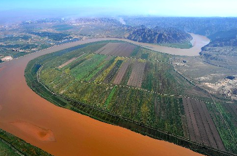
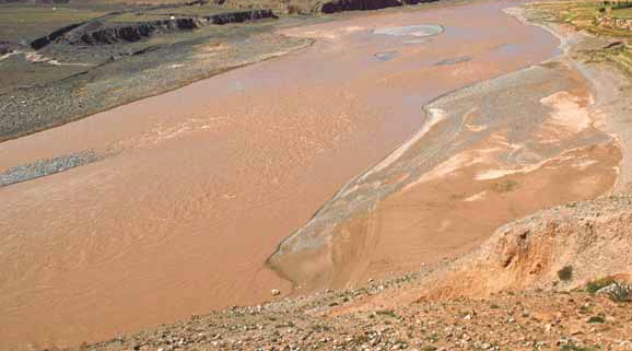
Huang He (Yellow River)
This river begins in the plateau of Tibet and flows all the way to the Yellow Sea. This is China's second longest river and it's name comes from of the muddy yellow silt that gets carried along its path to the Gulf of Bohai. This silt is important to farmers because this silt creates rich topsoils for them. This river is named "China's Sorrow because of frequent flooding due overflow of the water.
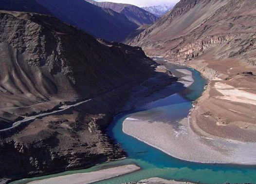
Indus River
The Indus River begins in in the Himalayas in Tibet and runs all the way through India and Pakistan. It flows for about about 2,000 miles and empties in the Arabian Sea. This river is important because it supplies the people with water. The Indus River Valley is one of the riches farming valleys.
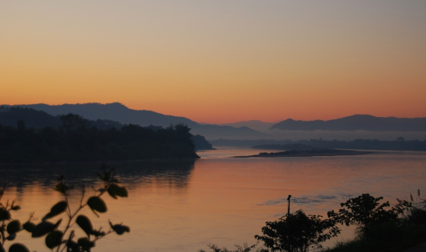
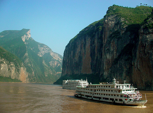
Mekong River
This other river begins in the Tibetan Plateau and flows through China, Myanmar, Thailand, Laos Cambodia, Vietnam, and finally into the South China Sea. This region most important crop is rice and it is one of the richest farming land. (Down below is a picture of the Mekong River.)
Yangtze River
The Yangtze River starts in Tibetan Plateau then travels until it reaches the East China Sea. It is the longest river in China. This river is very important because it provides China with water for crops, hydroelectric owed, and transportation for ships with cargo in them. This river is also connected to one of the oldest canal system, the Grand Canal.
Bay Bengal
The Bay of Bengal is the arm of the Indian Ocean. Many large rivers flow into the Bay of Bengal such as the Ganges River and many more.It is also the largest bay in the world. Down below are some pictures of the Bay of Bengal.
The Indian Ocean
The Indian Ocean comes in third of the world's five oceans. It is located between Africa, Asia, Australia, and the Southern Ocean.It covers one-fifth of the total ocean area.
Sea of Japan
The Sea of Japan is a small sea located to Russia to the north, the Korean peninsula the west, and Japan to the east.
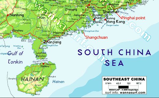
South China Sea
The South China Sea is between Vietnam and the Philippines. A river that empties into the South China Sea is the Mekong River. There are many monsoons and typhoons in this region.
The Yellow Sea
The Yellow River is the arm of the Pacific Ocean. It lies between China and Korea. Since this is the Yellow Sea the Yellow River runs until it empties into the Yellow Sea.
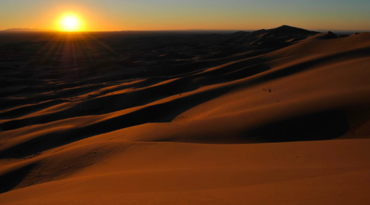
Gobi Desert
This desert is the largest desert in all of Asia. This desert stretches across southern Mongolia and northern China. Mostly covered with sand and rocks. It can be really hot or could also be really cold it just depends.
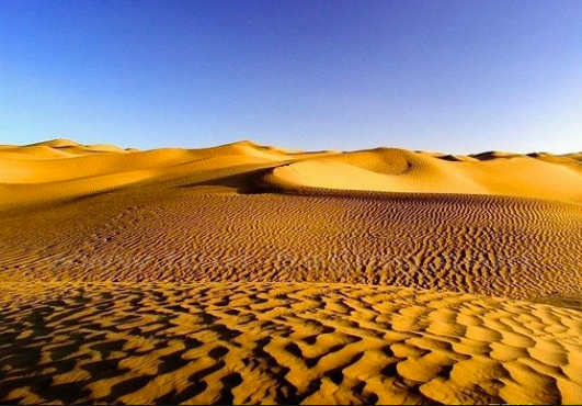
Taklamakan Desert
The Taklamakan desert liess between two rugged mountain ranges in northwestern China. It is over 600 miles in length wow! Sand dunes cover 85% of the surface. It would take about a year to cover it all.
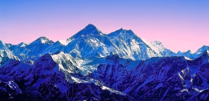
Himalayan Mountains
The Himalayan mountains lie around the northern edge of the Indian subcontinent. These mountains stretch for about 200 miles and is the highest mountain range. It is the southern border of China. It is some†imps called "The roof of the world".
Korean Peninsula
The Korean Peninsula is a mountainous peninsula that lies between the Yellow Sea and the Sea of Japan. Has very rich farmland to farm on. Since WW2 this peninsula has been divided into countries: North Korea and South Korea

